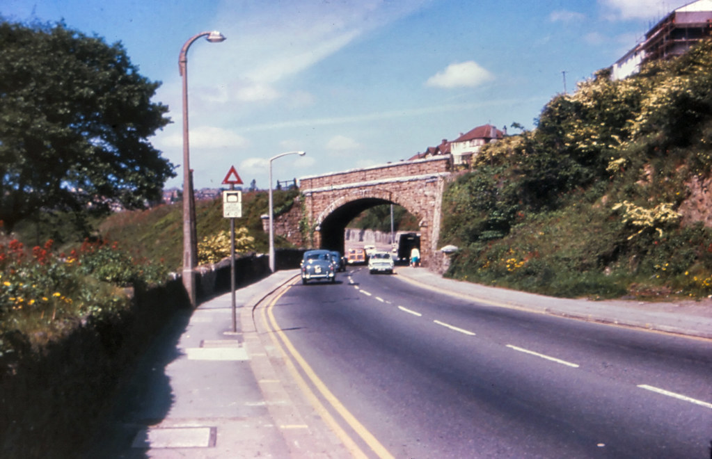
A vintage colour view of the bridge that once carried the LSWR railway line over Wolseley Road, approximately 200 yards north of the entrance to Rodney Street.
The structure and the embankment serving it were both demolished in the early 1970s. However, the cutting on the right side of the photograph is still extant.
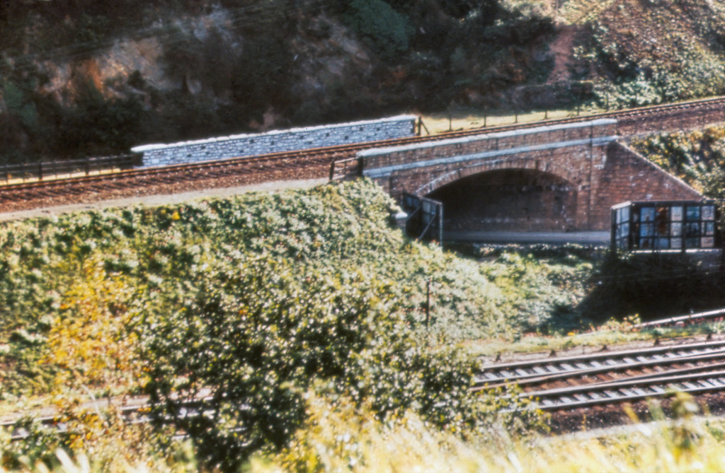
 The GWR line is clearly visible in the foreground from this vantage point on the hillside near Poole Park Road.
 Both ©Ian Regan
Thanks to Ian for the photos. I cant actually recall the bridge myself although I was in Plymouth living at St Budeaux when it was demolished so I would certainly have passed under it. Being born in Portsmouth just 47 years ago today I was one year old when these photos were taken.
Related Links
- Ian Regains photostream for more great shots Flickr


could you do a "now" photo? :-) i'm trying to work out where this is!!
ReplyDeletewill see what I can do!
ReplyDeleteHappy Birthday for yesterday! I found this blog a few weeks ago, and am enjoying it -- thank you.
ReplyDeleteThis site can be identified on Google Earth. Search on Rodney Street, the railway used to run in a cutting behind it and you can see a dark line in the trees running northwest(ish)to cross Wolseley Road. The line is not so visible across the road, but the other line is, and west again is Poole Park Road.
The cutting at the back of Rodney Street has been filled in to make a green space. You can see a now pointless bridge a little further south.
{A different "Anonymous")